Today we visit the Municipality of A Pobra do Caramiñal, on the north bank of the Ría de Arousa, southwest of the province of A Coruña. We will see O Areal Beach located in the center of A Pobra next to the port.

Coordinates to find the location of A Pobra do Caramiñal in Galicia. Extend the map and reach O Areal Beach: 42.603317, -8.936768
O Areal Beach is about 900 metres long, with a wide promenade. The walk begins next to the port of A Pobra towards Punta do Convento at the other end of the beach, where the Church of Santa María do Xobre and Rectoral (rectory house), which we will also visit; and will return along the seafront.
Now we start our walk, beside the port.

The municipality of A Pobra do Caramiñal has just over 10,000 inhabitants. Its economy is closely linked to the sea, the activity is centered in its fishing and commercial port and its marina.
Inshore fishing, shellfish and molluscs cultivation in bateas occupy the activities of more than 250 boats. The canning industry is also of great importance, along with frozen food companies. The port is also the first port of unloading of tuna in Europe.

On the other hand A Pobra do Caramiñal offers a rich landscape with beaches along its coastline and lookouts offering spectacular views. Besides the natural pools that are formed in the Pedras River. The tourist offer is completed by the varied religious and civil architectural heritage that exists in the municipality.


The port.

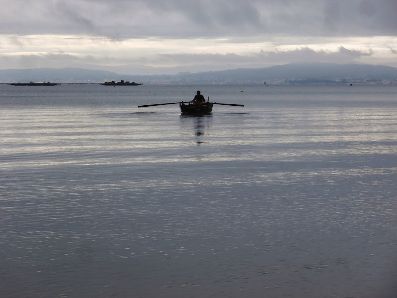
The fisherman and his boat.

From here we look to the port.

And we make out the two ships docked at the commercial dock.

We continue walking and see the fisherman, who still fishing. We also see to the right of the picture the church of Santa Maria do Xobre.

This other fisherman tries from land. He told us that the fish were not biting.

We have reached the end of the beach, we have come its 900 meters long. The walk continues to the place where the Church of Santa Maria do Xobre is. From here we see part of O Areal Beach at the mouth of the River Xundeiriño, at low tide. We also see in the distance, the marina and the two ships anchored in the commercial dock.

We are a few metres from the Church and Rectory of Santa María do Xobre. We visit the church. Click Here.
We return along the promenade after visiting the Church.

Low tide.

Estatue Tribute to Working Women.

After the walk a relaxing cup of coffee.

We have returned to the starting point beside the port. There are cars everywhere. Today is the day of the Fiestas del Carmen del Castelo in A Pobra do Caramiñal.

We will return soon.
No comments:
Post a Comment